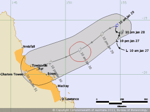
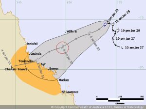
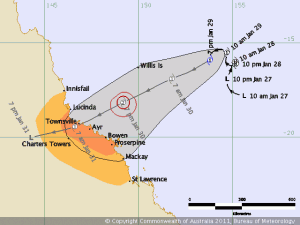
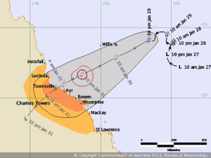
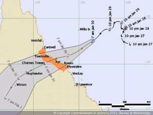
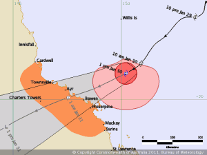
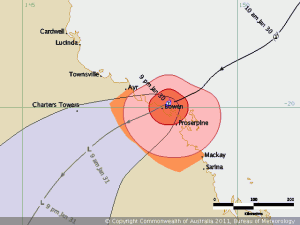
The good people at BoM are doing a great job with the track predictions:
The coast-crossing point is a little further south than first thought but current predictions are also showing that it may well only be Cat 1 when it crosses.
Edit 1: This is the 1644 track map. Heading further south again:
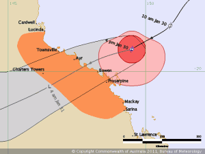
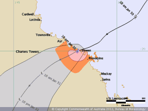
Edit 2: The 1900 track map shows another shift further south and directly across Bowen:
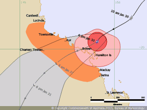
Edit 3: The 2200 track map has been released and you can see how close the centre of the eye is to the coast at Bowen:
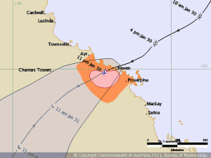
Edit 4: 2300 – Cyclone Anthony has crossed the coast at Bowen and is now Category 1 again:
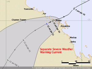
Edit 5: 0008 track map. The centre is well inland now and should be a low within twelve hours:
Edit 6: That’s it, TC Anthony is an ex-cyclone and now classed as a tropical low. It would be good if it fizzled out sooner rather than later as south of here doesn’t need any more rain:
Many thanks to BoM for the track map images.
Please note: These maps are only here as a living record of passing cyclones from the viewpoint of an ordinary FNQer. The info presented is out of date as soon as it is posted. If you want the latest information you should always check the BoM Cyclone page.
